生き物供養碑 topic map
As a bridge between Information processing and Knowledge processing
Vizigate
Query
Go to top
Menu (Topic Type)
塚
域
対象
都道府県
市区町村
国
建立年
文献
写真
対象ごとの塚の数
都道府県ごとの塚の数
市区町村ごとの塚の数
建立年ごとの塚の数
文献ごとの塚の数
本トピック:"
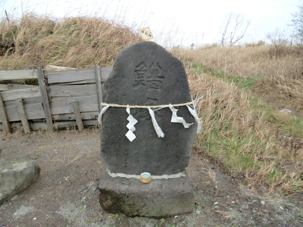
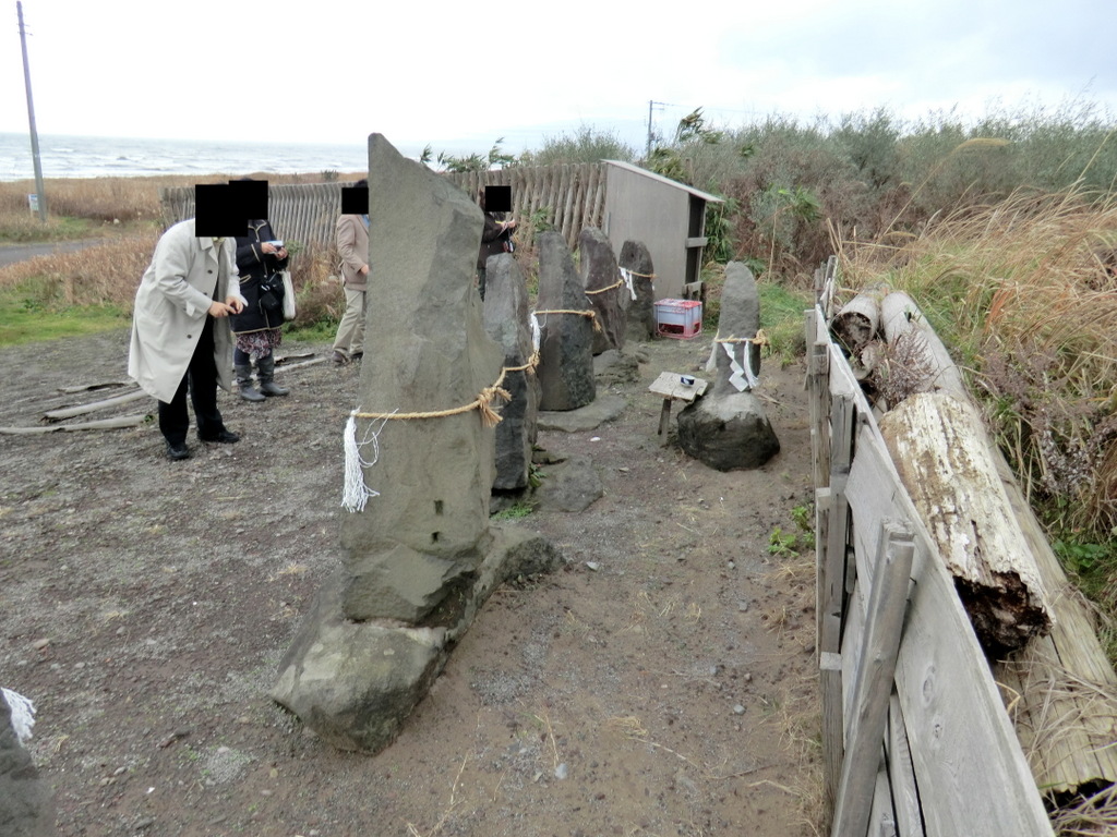
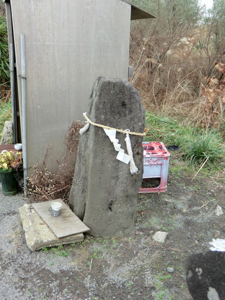
鰡塚
"
(トピック型:"塚")
Ψ http://topicmaps-space.jp/psi/kuyo/tumulus-1000127
【内部出現】
項目
内容
緯度/経度 (10進数)
39.893222 /139.944528
緯度/経度 (60進数)
39°53′35.6″/139°56′40.3″
所在地
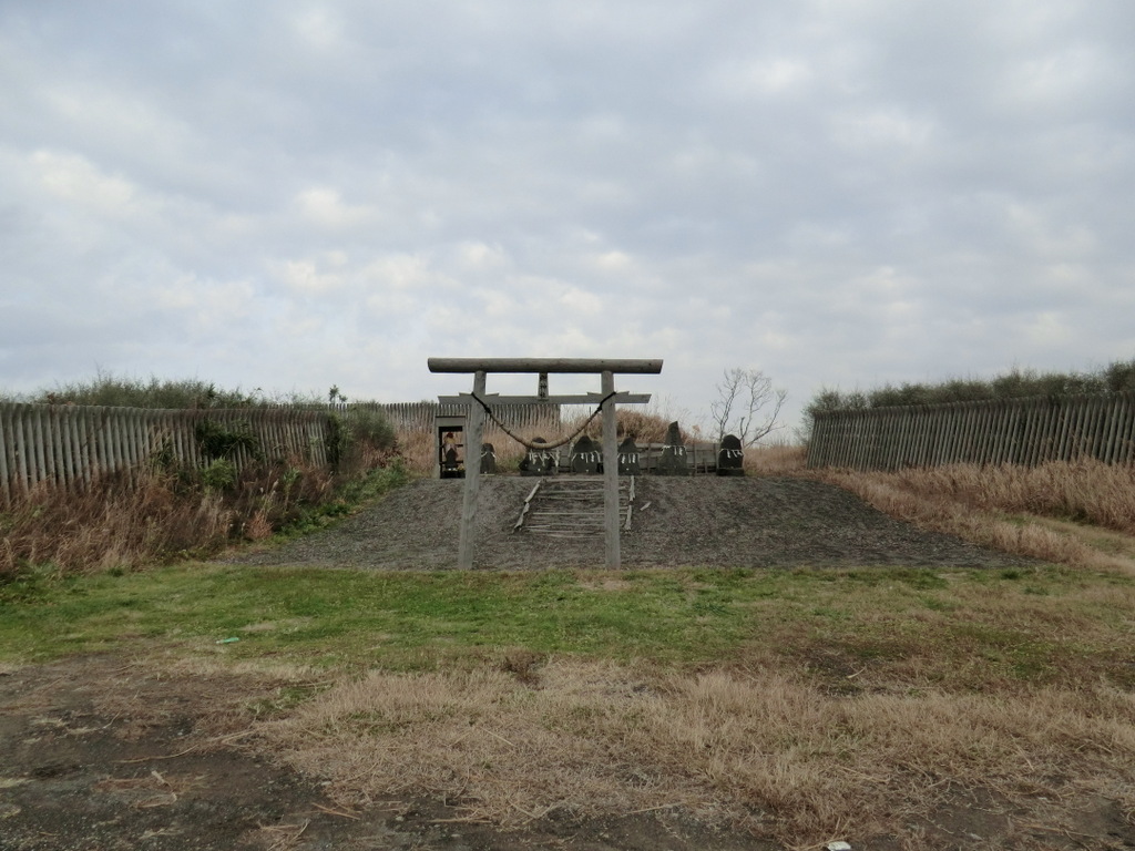
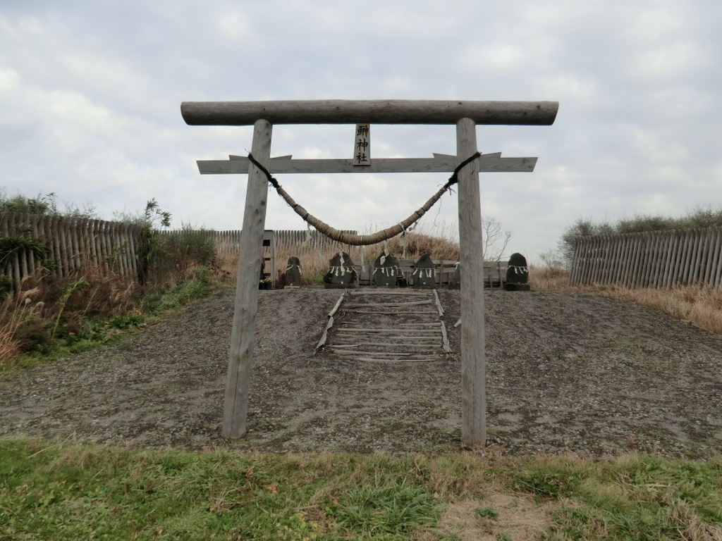
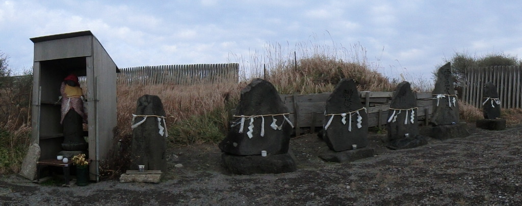
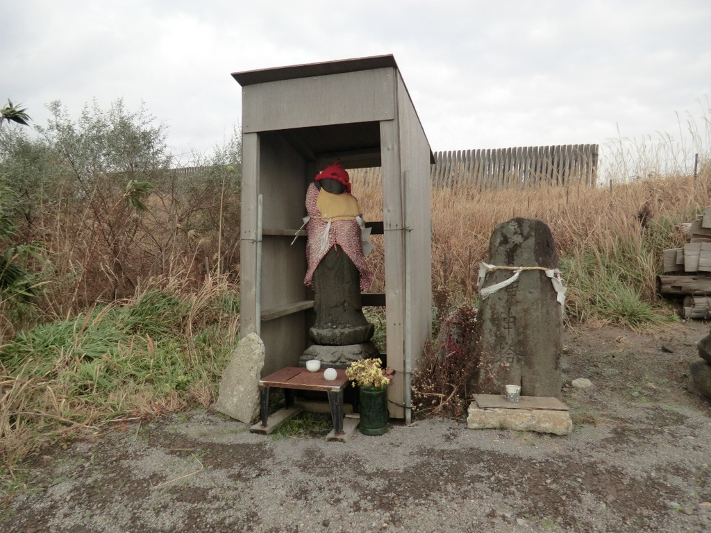
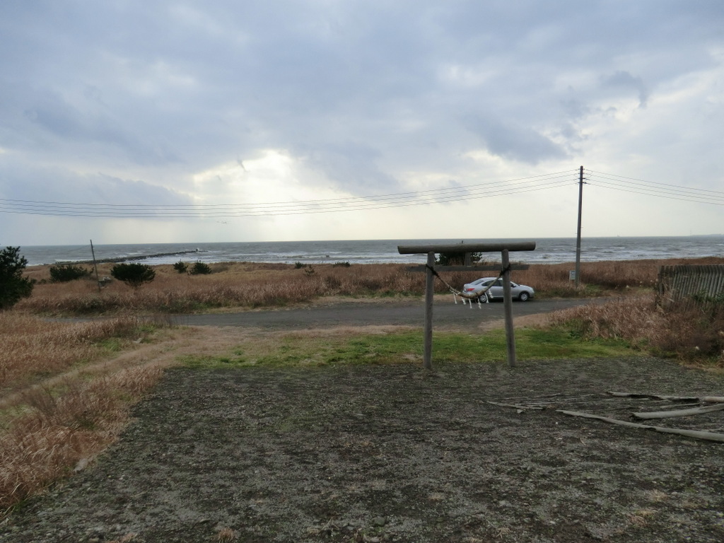
男鹿市 船越海岸
祀りの場など
一向石碑群(鰰神社)
その他
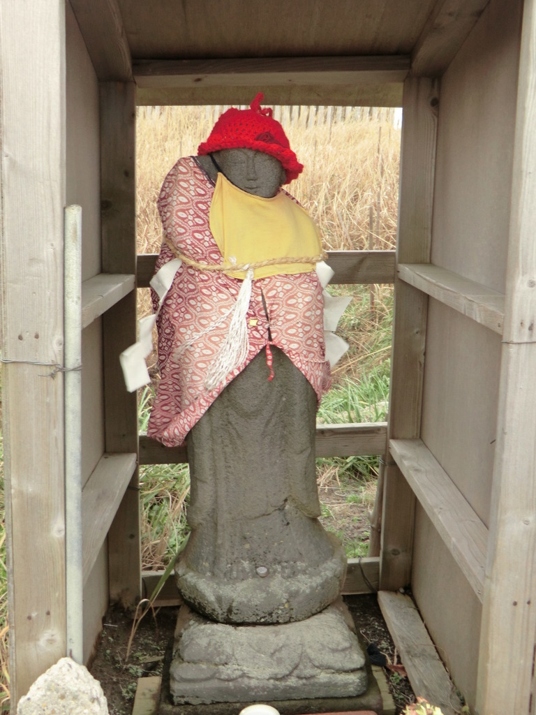
船越の海岸にあり、鰰神社に並ぶ8基のうちの一つ。
【関連】
位置する(市区町村)
市区町村内の塚:
鰡塚
(塚)
所在市区町村:
男鹿市
(市区町村)
位置する(都道府県)
都道府県内の塚:
鰡塚
(塚)
所在都道府県:
秋田県
(都道府県)
供養する
供養対象:
鰡塚
(塚)
供養対象分類:
ハタハタ
(対象)
写真を写す
被写体:
鰡塚
(塚)
写した写真:
2010-12-akita-CIMG0172.JPG
(写真)
被写体:
鰡塚
(塚)
写した写真:
2010-12-akita-CIMG0173.JPG
(写真)
被写体:
鰡塚
(塚)
写した写真:
2010-12-akita-CIMG0175.JPG
(写真)
被写体:
鰡塚
(塚)
写した写真:
2010-12-akita-CIMG0176.JPG
(写真)
被写体:
鰡塚
(塚)
写した写真:
2010-12-akita-CIMG0183.JPG
(写真)
被写体:
鰡塚
(塚)
写した写真:
2010-12-akita-CIMG0184.JPG
(写真)
被写体:
鰡塚
(塚)
写した写真:
2010-12-akita-CIMG0185.JPG
(写真)
被写体:
鰡塚
(塚)
写した写真:
2010-12-akita-CIMG0188.JPG
(写真)
被写体:
鰡塚
(塚)
写した写真:
2010-12-akita-CIMG0189.JPG
(写真)
分類する
域分類対象:
鰡塚
(塚)
域分類:
水域
(域)
建立する
建立年の塚:
鰡塚
(塚)
建立した年:
1901
(建立年)
記述する
記述対象の塚:
鰡塚
(塚)
記述文献:
[田宮2009]
(文献)
記述対象の塚:
鰡塚
(塚)
記述文献:
[鎌田1989]
(文献)
記述対象の塚:
鰡塚
(塚)
記述文献:
[鎌田1991]
(文献)
Powered by OKS (Ontopia Knowledge Suite)
Knowledge Synergy Inc.